Winter’s Here! Up to a Foot of New Snow Through This Weekend?
The snow has finally arrived and this is the most snow we have seen in Grand Rapids and West Michigan in quite awhile. Now we seem to be making up for lost time because a lot more snow is coming.
Our Fox17 weather folks are saying this is just round one. Oh goody.
Round two will probably be Wednesday night into Thursday and then through the weekend with round three all next week. Yikes!
Wednesday night and Thursday we might get another inch or a bit more, but the big hitter, what we really have to watch out for, will be Friday afternoon through Saturday. Forecasters are saying there is a strong likelihood of a high-impact winter storm beginning Friday afternoon and extending into the early part of the weekend.
This system seems to be moisture-rich, and the most significant snowfall is currently anticipated over Michigan. Strong winds are expected with this storm. As our meteorologists say the "models" aren't exactly set yet but it's quite possible we could see from five to ten inches of snow or more.
All you snow lovers have been sulking all through December so now is the time to celebrate, build snowmen, do snow angels in the snow, grab your skis and hit the slopes, go sledding with the kids. The City of Grand Rapids even has free sled libraries at some city parks!
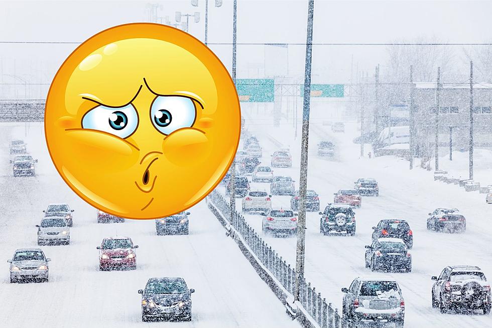
Driving will be tough for sure, but the good news about all of the show hits is that they'll come one at a time so road crews should be able to keep up with it.
Also, don't forget that we will always have complete traffic reports throughout your morning drive, so you will always be up to date.
Frozen Lake Michigan - South Haven Feb 2021
More From 100.5 FM The River


