Grand Rapids in for a Bomb Cyclone Winter Storm Friday and Saturday?
Our latest weather update for this weekend is a doozy!
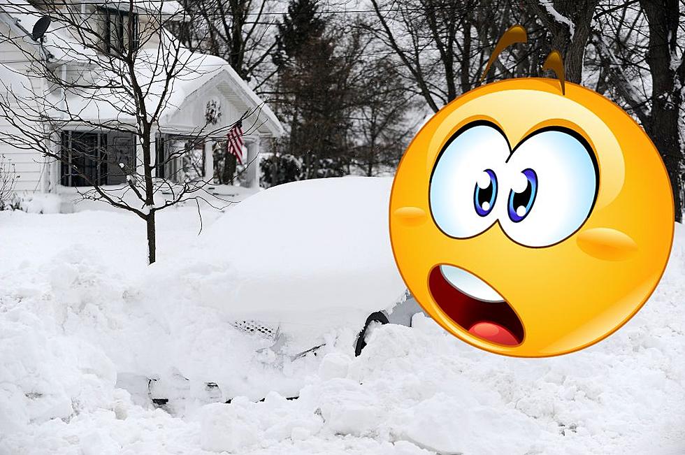
Yesterday I wrote that 10 to 12 inches of snow was possible with the coming storm, and now the word "bomb cyclone" is being discussed. Yikes! All that snow is bad enough but who needs a bomb cyclone, and what in world is it?
The weather folks say it is the name given to a rapidly intensifying storm that undergoes a huge barometric pressure drop within 24 hours. With that comes sustained winds at 20 mph, with gusts frequently in the 40 to 50 mph. range. Also, blowing snow is likely and could produce blizzard-like conditions. What fun that's going to be!
Our Fox17 meteorologists are now saying that the winter storm will arrive on Friday mid/late morning across our southern counties. The system will push in from the southwest and them move up to us.
There is always the possibility the storm could shift a bit, but is sure looks like by late morning/early afternoon West Michigan will be blanketed with this widespread snowfall and then stay consistent through the day on Saturday as snow accumulations stack up and gusty winds continue.
What happens after that? Cold arctic air and lots of lake effect snow bands through Sunday and Monday.
No one can agree on exact snowfall totals. However, they are in agreement that heavy, widespread snow is likely.
And, the Lake Effect snow fall this winter? There will be very little ice on Lake Michigan for the rest of the season as the lake will stay warmish, so guess what? More lake effect snow fall!
KEEP READING: Get answers to 51 of the most frequently asked weather questions...
More From 100.5 FM The River


