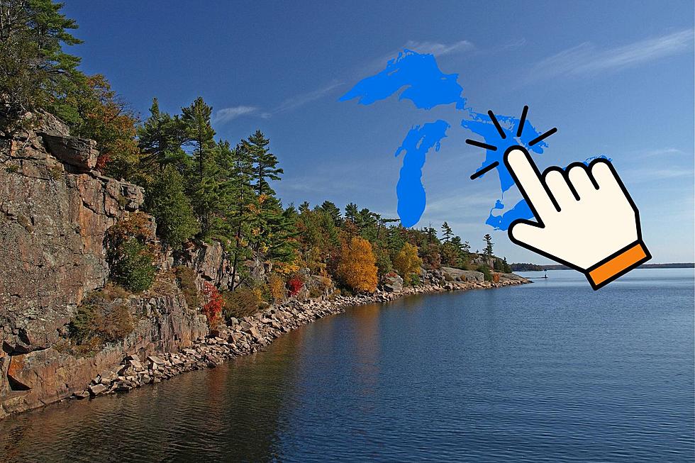
Yes, A ‘Hurricane’ Once Formed On The Great Lakes, And It Was An Epic Storm
Coastal states are always prepared for the possibility of tropical storms and hurricanes in the late summer and fall due to their proximity to the massive bodies of water they border. But Michigan borders some of the largest inland bodies of water in the world and the Great Lakes are capable of producing storms that are the equivalent of tropical storms and hurricanes.
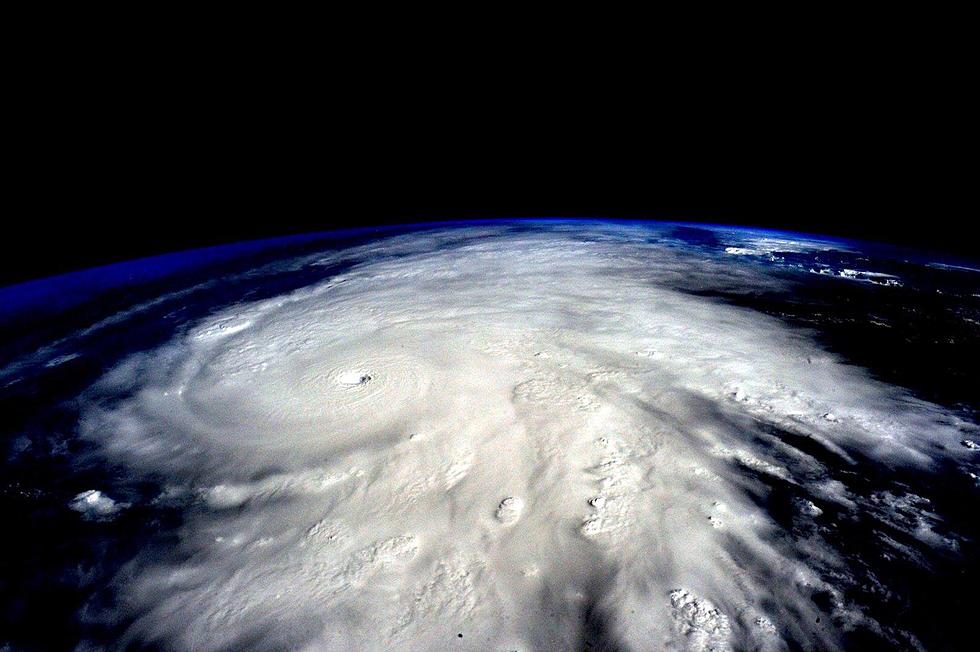
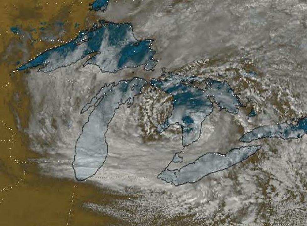
'Hurricane Huron', as it was later nicknamed, was a strong cyclonic storm system that began forming in Lake Huron on September 11, 1996. Its overall strength increased quickly, with surface winds building from 11 mph to 67 mph by the end of the day. On September 12, the cyclone had moved slightly southward on Lake Huron and portions of the storm were positioned over the Thumb region, Saginaw Bay and northeastern Michigan.

The storm went on to form the visible features familiar with a hurricane including spiral bands and an "eye". At its peak strength on September 14, the cyclone produced tropical storm force winds up to 73 mph, just shy of the 74 mph threshold for a Category 1 hurricane defined on the Saffir-Simpson scale. The "eye" measured close to 20 miles across and had a ring of tall convective clouds surrounding it, strongly resembling an "eye wall". The showers encircling the "eye" went over 300 miles out from the center of the storm. Some of the spiral bands even had rainfall exceeding 4 inches an hour which caused some flooding. During the overnight into September 15th, the lake temperature dropped 10 degrees which greatly weakened the cyclone as a result of less heat supply from the water.
It is believed that the warm waters of Lake Huron at that time and instability in lower levels of the atmosphere over the lake were some of the major contributing factors in this storm's evolution. Other than the flooding, there were no significant reports of damage or destruction on land as a result of 'Hurricane Huron'.
Remnants of tropical storms and hurricanes from the Atlantic Ocean and Gulf of Mexico have often moved into Michigan with usually little remaining strength, but 'Hurricane Huron' to date is an unprecedented weather event. There is no other record of a near Category 1 hurricane like storm forming on Great Lakes waters since records have been kept, but if it happened once, it could happen again sometime in the future.
The National Weather Service once took a deep dive into the prospect of cyclonic weather systems in Michigan and the Great Lakes
BONUS VIDEO: HIGH WINDS MAKE BIG WAVES ON LAKE MICHIGAN - MARCH 2017
Here's more amazing weather lore:
KEEP READING: Get answers to 51 of the most frequently asked weather questions...
More From 100.5 FM The River