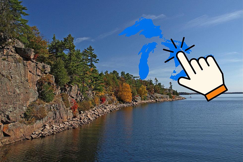
Michigan Actually Has 4 Southernmost Points
Driving to and from Michigan you're greeted at the state's southern border with that familiar Pure Michigan welcome sign. There are, of course, many points of entry into the state but there are 4 distinct southernmost points. Or call it the 4 points of the southern border.
A user on Google crafted this map with includes all 4 pinpoints. The 4 points are Michigan southwesternmost point, the southeasternmost point, the Michigan/Indiana southernmost point and the Michigan/Ohio southernmost point - which is the true southernmost point in Michigan.
Let's look at it from west to east.
Michigan's Southwestern Most Point

From land, the southwesternmost point is in the village of Michiana, a not easy-to-navigate, secluded village. The point is where the Michigan/Indiana border meets Lake Michigan. But that's not the state's legal western border. It extends into Lake Michigan halfway to Illinois. So Michigan's southwesternmost point is a tripoint with Michigan-Indiana-Illinois.
Michigan/Indiana Corner + Michigan-Indiana-Ohio TriPoint

A pair of southern boundary spots are in the middle of the state. Approximately 104 miles from that southwestern point in Michiana and 70 miles from the eastern land point on the Lost Peninsula are two points on the map.
The Michigan-Indiana Corner is due south of Montgomery and 4.4 miles north of the Michigan-Indiana-Ohio tripoint. The corner is Indiana's northeasternmost point. There is no photographic evidence online of this point which appears to be in a wooded area on likely private property.
The tripoint is an accessible area with a marker stone and the actual tripoint is marked in the road which is known as Cope Road by Hillsdale County, Michigan, 1000W by Steuben County, Indiana and Couty Road 1 by Williams County, Ohio.
The reason for the jog in the border is Indiana's boundary shifted to give the state access to Lake Michigan while Michigan and Ohio "fought" the Toldeo War.
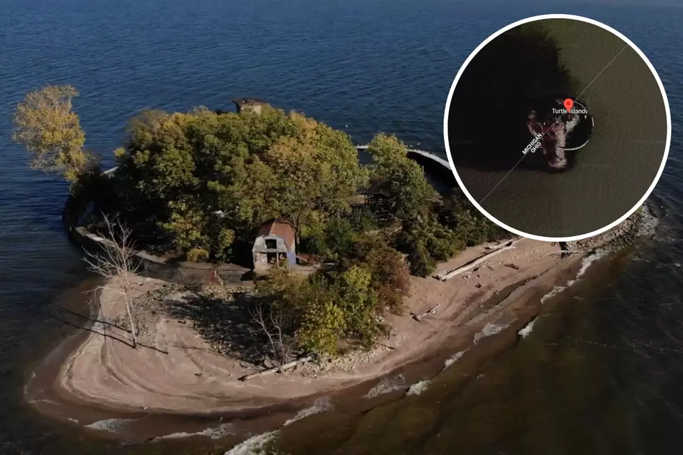
Michigan's Southeasternmost Point

This Michigan endpoint is, like the southwest point, in the water. In this case Lake Erie just offshore of the Lost Peninsula. The reason for this point is the Michigan/Ohio border makes a northerly turn to pass through the middle of Turtle Island.
12 Best Places to Live in Michigan
Gallery Credit: Jacob Harrison
More From 100.5 FM The River