This High Elevation Region of Michigan Is Something You Never Learned in School
There's a higher elevation area in Michigan's northern Lower Peninsula that is overlooked by nearly every Michigander.
Many know of the high, rugged terrain of the western Upper Peninsula - the region that gives us the Porcupine Mountains and the state's largest natural* point of elevation, Mt. Arvon. But it's this special region of the northern Lower Peninsula that is virtually unknown to many in the state.
This region contains the Lower Peninsula's highest point of elevation near Cadillac.
Eagle-eyed geology buffs spotted the area of Michigan high terrain and posed the question on Reddit - what is this region called?
Thanks to the power of the internet - the answer was found. This area of northern Lower Michigan are known as the state's High Plains.
The heavily forested High Plains was the scene of the state's timber rush and made millionaires as an Michigan State University study of the region revealed.
the High Plains yielded almost 30,000 board feet per acre. A township near Houghton Lake was sold a few years later for $100,000, which was probably less than half the stumpage value of the timber on it. The pine of Michigan made more millionaires than the gold of California.
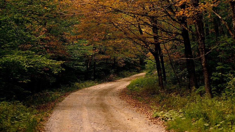
The Au Sable River cuts through the High Plains in a notable valley.
READ MORE: The Surprising Realization Lake Huron is the Most Rural Great Lake
Further slicing through the Michigan High Plains are the Grayling Fingers. These are several high elevation plateaus with rivers or creeks cutting through them so they appear like fingers on a topographic map.
It's a fascinating part of Michigan's history in an area where may are just passing through to and from the Mackinac Bridge.
Editor's Note: The topographic map used in the creation of the image accompanying this article is for sale on Etsy.
What Will Michigan Look Like in 50 Years?
Gallery Credit: JR
More From 100.5 FM The River