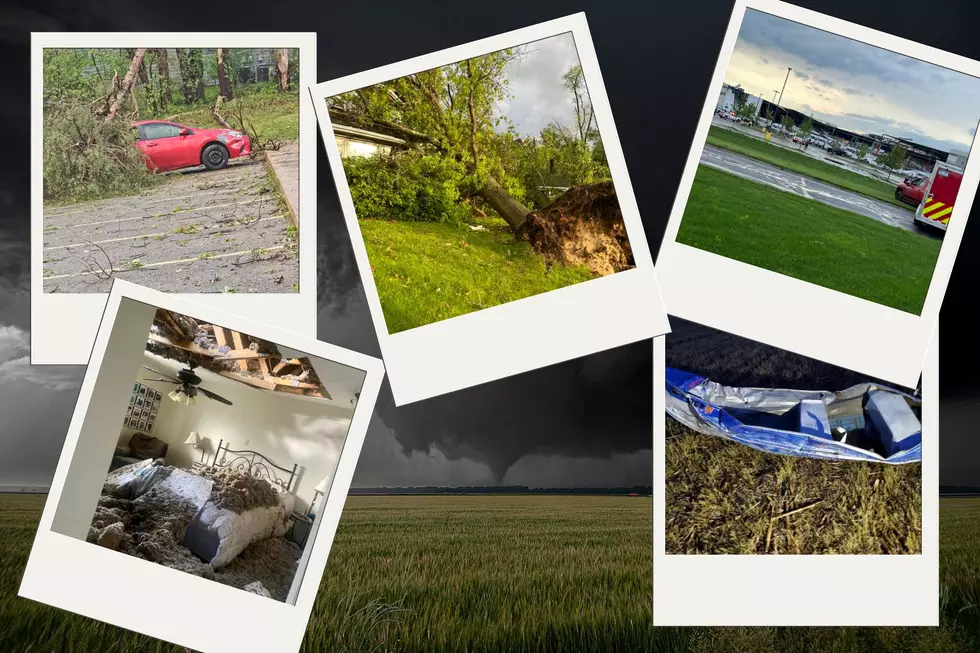
Pictures and Videos of Southwest Michigan Tornado Damage
(UPDATE) Photos and videos of massive damage have poured in after a night of extremely dangerous weather including multiple tornados in Southwest Michigan. The National Weather Service has officially confirmed that 4 tornados touched down Tuesday evening in Michigan leaving many people displaced and nearly 23,000 people without power.
4 Tornados Touched Down in Michigan May 7th, 2024
- Dowagiac - EF1 tornado with winds up to 95 MPH.
- Union City - This EF1 touched down just after 6 PM with 95 MPH winds.
- Centerville - The National Weather Service hasn't released info on the power of this tornado yet, but they say it was very large and will release info after assessing damage.
- Portage - This EF2 caused lots of damage, including a mobile home park and the new Fed Ex facility near the airport.
Many of you have sent in shocking photos and videos of the storm's aftermath for us to share. Here are some of those photos and videos.
Tornado Damage Photos From Southwest Michigan, May 7th, 2024
What's left of a barn in Colon.
Wendy's on Centre in Portage
Homes lost in horrific storms
A tree uprooted in Portage
More huge trees uprooted displacing earth.
Destroyed bedroom in Texas Township
Hampton Oaks area in Portage
Another large tree was uprooted on the South side of Portage.
Another large tree was uprooted on the South side of Portage.
Home badly damaged by tree during tornados.
Damage in Hampton Oaks area of Portage.
The plaza near Oakland and Centre was destroyed.
A boat in a field in Galesburg.
Centre & Moorsbridge
Portage, Michigan damage
Fed Ex right after the tornado
Fed Ex facility in Portage after the tornado.
Fed Ex facility in Portage after the tornado.
Hampton Oaks area in Portage
Portage Rd sign in Portage
Tornado Damage Videos From Southwest Michigan, May 7th, 2024

Keep checking back as we will add more photos as they come in. You can scroll through the videos of horrific damage on the KFR Facebook page by clicking here.
2024 Michigan County By County Tornado Risk Projections
Gallery Credit: Scott Clow
More From 100.5 FM The River


