

New Michigan Deer Hunting Map Ready For This Fall
Just in time for deer hunting season, the Michigan Department of Natural Resources' interactive map, MiHunt, has received a fresh coat of paint with a revamped interface and new features. It's a pretty big upgrade from the previous version, so let's break down what's new.
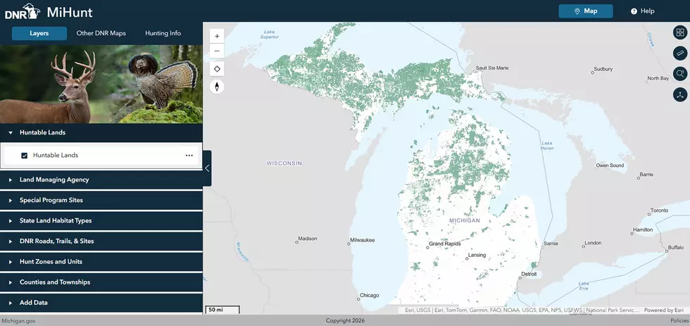
As before, the default view shows all publicly huntable land in both the Upper and Lower Peninsulas, but the tabs on the left let hunters view more specific information, including which agency manages the land, cover types, and special hunting programs like DNR Turkey Tracts. Some features like DNR Roads and cover types require you to zoom in on a specific region
READ MORE: University of Michigan Releases Michigan Flora Plant ID App
The most unique part of this map is that hunters can now add their own spatial data, like boundary lines, waypoints, and more, making it truly personalized to their needs. This data is only visible to the uploader, and since MiHunt is a website and cannot be used offline, you'll want to screenshot the map once you've customized it the way you want.
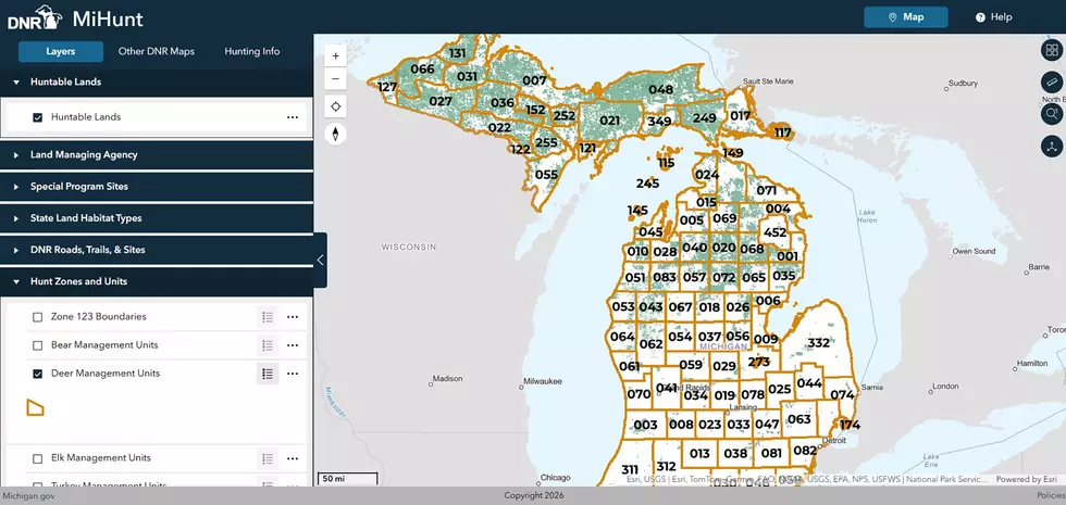
According to a press release, the DNR's Wildlife and Forest Resources divisions built the app in-house. The map has been live since September 10th, so if you've been bear or waterfowl hunting, you've likely already used this map.
But if you haven't, now is the time to familiarize yourself with it.
8 Major Michigan Deer Hunting Changes for 2026
Gallery Credit: Tony LaBrie
2026 Liberty Hunt Harvest Report for All 83 Michigan Counties
Gallery Credit: Scott Clow
