Lake Michigan and Lake Huron Were Once Connected by 100 Foot High Waterfall
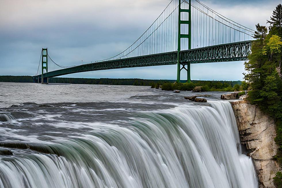
Today a crossing of the Straits of Mackinac is one of the most majestic and defining experiences in Michigan. Incredibly the experience was once as awe-inspiring as Niagara Falls as a waterfall once connected the two lakes.
The topic came up recently on the geography subreddit on Reddit with a question as to why only the Niagara River/Niagara Falls is the only natural impediment to travel along the Great Lakes system.
Of course, there were rapids along the St Mary's River between Lake Superior and Lake Huron. After all, Sault Ste. Marie means St Mary's Rapids in French.
But what about the other lakes? It turns out the Straits of Mackinac were once very different.
The waterfall, known as Mackinac Falls, actually does exist still today. It is far underwater near Mackinac Island.
TripBucket shared this from an article that once appeared on Wikipedia:
Mackinac Falls is a submerged 100-foot (30 m)-high waterfall formation under the waters of the Straits of Mackinac. The formation, which lies approximately 1 mile (1.5 km) east of Arch Rock on Mackinac Island, was the former outflow point for water flowing eastward from Lake Chippewa (proto-Lake Michigan) into Lake Stanley (proto-Lake Huron). The formation was discovered on August 16, 2007.
Interestingly, this historical cataract between the two lakes would have made them distinctly different lakes. With the straits in place today, Lake Michigan-Huron is in the strictest technical terms one lake.
Waterfalls seem enduring and permanent when compared to human lifetimes but geologically speaking, they are short-lived features as the water eventually wears away the rock. Scientists estimate that in 23,000 years Niagara Falls will disappear as the rock will wear down between Lakes Erie and Ontario and leave a flat Niagara River between the two lakes.
In the case of Mackinac Falls, the lake levels grew and in essence froze the falls in place underwater. Mackinac Island's tourism bureau explains:
Several thousand years ago, when lake levels were much lower, water from an early form of Lake Michigan flowed eastward past what is now Mackinac Island and over a cliff. At that time, the Straits of Mackinac was a river, and the water plummeted 100 feet over Mackinac Falls as it made its way to an early form of Lake Huron.
So today's visitors to the Mackinac region will need to be content with the bridge and straits, ferry ride, and fudge, but no waterfall to enjoy.
[Editor's Note: The image accompanying this article is AI-generated.]
LOOK: 25 must-visit hidden gems from across the US
Gallery Credit: Abby Monteil
More From 100.5 FM The River